

You just spent hours analyzing satellite and thermal imagery, only to doubt if your display truly reflects every detail. Without precise geospatial imaging calibration, subtle variations can lead to costly misinterpretations. PerfectLum 4 ensures your displays meet strict DICOM GSDF standards, delivering consistent accuracy across your entire fleet with centralized control. Keep reading to learn how this display calibration software can tighten your quality assurance and improve operational confidence. For more information on improving georeferencing accuracy, see this guide.
Importance of Display Calibration
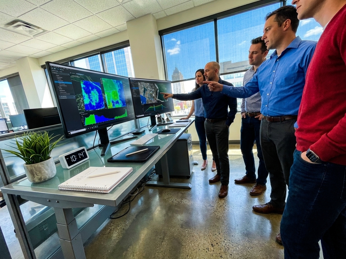
When you think about display calibration, you might wonder why it’s so crucial for geospatial analysis. This precision ensures that the data you interpret is reliable and actionable.
Critical Role in Geospatial Analysis
Geospatial analysis relies heavily on accurate data representation. Imagine analyzing satellite imagery to assess environmental changes. A small calibration error could lead to a significant misinterpretation. Proper calibration ensures every pixel represents the right value, giving you confidence in your analysis. For more on ensuring accuracy in geospatial data, check out this guide.
Benefits of Accurate Calibration
Accurate calibration brings multiple benefits. First, it guarantees that the data you see matches real-world measurements. This accuracy is vital when making decisions based on thermal imagery or SAR data. Furthermore, consistent calibration across all displays means everyone on your team views the same data quality, reducing errors and increasing efficiency. Consistency in display quality is crucial, as highlighted by Spatial Dimensions.
Ensuring Consistent Imaging Quality
Consistency in imaging quality is not just about accuracy. It’s about maintaining that quality over time and across multiple devices. This consistency ensures that when you revisit data or compare different datasets, you’re looking at accurate and reliable information. The longer you wait to standardize, the more you risk discrepancies affecting your outcomes.
PerfectLum 4: Calibration Excellence
PerfectLum 4 stands at the forefront of calibration software, offering unparalleled benefits for anyone needing precise geospatial imaging.
Ensuring Standards-based Accuracy
PerfectLum 4 sets the bar high with its standards-based accuracy. It adheres to the DICOM GSDF standards, ensuring that your displays provide the most accurate data representation possible. This precision is critical for professionals who depend on the smallest details. Accuracy is paramount, as shown in this USGS article discussing Landsat data processing levels.
Achieving Fleet-wide Consistency
Managing multiple displays across various locations can be a challenge. With PerfectLum 4, you achieve fleet-wide consistency, ensuring each display reflects the same high standard of quality. This consistency is essential in environments where multiple team members need to access and interpret the same data accurately.
Centralized Quality Assurance Oversight
PerfectLum 4 offers centralized oversight for quality assurance, making it easier to manage and maintain the calibration of all your displays. With centralized control, administrators can efficiently monitor and adjust settings, ensuring compliance with regulatory standards and maintaining optimal performance across the board. This feature saves time and reduces errors, allowing you to focus on your core tasks.
Call to Action: Experience PerfectLum
Ready to see the difference PerfectLum can make? Here’s how you can get started and enhance your display calibration.
Request a Live Demo
Curious about how PerfectLum 4 works in a real-world setting? Schedule a live demo to see its capabilities firsthand. This interactive session will showcase how the software can meet your specific needs and improve your operations.
Download the Calibration Checklist
Not ready for a demo? Start by downloading our comprehensive calibration checklist. This resource will help you understand the critical steps needed to achieve and maintain excellent display calibration.
Start an Evaluation License
Try PerfectLum 4 with an evaluation license to experience its full range of features. This trial period allows you to explore the software’s capabilities and see the benefits of improved calibration without any commitment.
By embracing PerfectLum 4, you’re not just adopting new software; you’re investing in the accuracy and reliability of your geospatial analysis. The right calibration can make all the difference in your decision-making process.
Explore how precise calibration enhances geospatial imaging accuracy with Qubyx solutions.